What UNESCO listed, and why it was a first
In July 2016, at its 40th session, the UNESCO World Heritage Committee inscribed Khangchendzonga National Park on the World Heritage List. It was the first site in India listed as mixed, meaning it meets criteria for both natural and cultural value. Before it, India's World Heritage Sites were either natural, such as Kaziranga, or cultural, such as the Taj Mahal.
UNESCO listed the park under four criteria. Two are natural: (vii) for exceptional natural beauty, here the vertical sweep from subtropical forest to the third highest summit on Earth, and (x) for its importance to biodiversity, including threatened species. Two are cultural: (iii) for bearing unique testimony to a living cultural tradition, and (vi) for direct association with beliefs of outstanding significance, here the Buddhist idea of a beyul, a sacred hidden land, and the Lepcha people's relationship with the mountains, lakes and caves of the park.
The park itself is older than the listing. Sikkim notified it in 1977 and later enlarged it, and the wider Khangchendzonga Biosphere Reserve around it is part of UNESCO's Man and the Biosphere programme.
The park in numbers
These figures come from the UNESCO nomination summary and Wikipedia's article on the park. They give a sense of scale that is hard to grasp from a viewpoint in Pelling.
| Measure | Figure |
|---|---|
| World Heritage listing | July 2016, mixed site, criteria (iii), (vi), (vii), (x) |
| Core area | ≈ 178,400 ha (1,784 km²) |
| Buffer zone | ≈ 114,712 ha |
| Altitude range | ≈ 1,220 m to 8,586 m |
| Glaciers | 18, including the Zemu Glacier |
| Glacial lakes | 73 |
| Districts | Mangan (North Sikkim) and Gyalshing (West Sikkim) |
| Neighbours | Kanchenjunga Conservation Area (Nepal) to the west, Qomolangma reserve (Tibet) to the north |
Seven kilometres of altitude in one park
What makes the park unusual is how much altitude it packs into a small area. Within about 40 km in a straight line you pass from warm valley forest at around 1,200 m, through temperate broadleaf forest of oak, maple, chestnut and magnolia, into fir, birch and rhododendron, then alpine meadow, scree, glacier and finally the summit ridge of Kangchenjunga.
That range of habitats supports a wide range of life. Wikipedia lists about 550 bird species recorded in the park, and mammals including the snow leopard, red panda, Himalayan tahr, bharal (blue sheep), musk deer, clouded leopard and Asiatic black bear. Most are shy and rarely seen by trekkers, but walkers on the Yuksom trail regularly see Himalayan birds, and the rhododendron forests between Bakhim and Phedang flower in April and May.
The park also feeds the Teesta and Rangeet rivers, and its glaciers and high lakes are watched closely by scientists studying change in the eastern Himalaya.
We turn this into a priced, day-by-day plan for your dates.
A sacred landscape, not a wilderness
The cultural criteria are what set the park apart, and they are easy to miss if you only come for the view. For Sikkim's Buddhists, the land around Kangchenjunga is part of Beyul Demazong, the hidden valley of rice that Guru Padmasambhava is believed to have blessed and concealed for a future time of need. Lakes, caves, rocks and peaks inside the park are named places of pilgrimage, and the mountain is worshipped as Dzö-nga, guardian deity of Sikkim, honoured each year at Pang Lhabsol.
The Lepcha, considered the earliest inhabitants of Sikkim, have their own long relationship with these mountains, which appear in their origin stories, rituals and place names. UNESCO's description speaks of the park as a living landscape shared by both traditions. This is why rules here go beyond litter and wildlife: some lakes may not be camped beside, and some summits are not climbed.
Respect for the mountain has shaped even its climbing history. Wikipedia's Kangchenjunga article records that Joe Brown and George Band, who made the first ascent from the Nepal side on 25 May 1955, stopped a few metres short of the true summit, keeping a promise made to the Chogyal of Sikkim that the top would be left undisturbed. Most summit climbers since have followed the same custom, and Sikkim does not allow expeditions to the summit from its own side.
When you walk the trail from Yuksom, you are walking through that belief. Stone mani walls, prayer flags at passes and chortens at camp sites are not decoration. Walk clockwise around them and leave them as you found them.
How to visit from West Sikkim
Yuksom is the main gateway. From here the trail climbs to Sachen, Tshoka and Dzongri, and on to Thansing, Lamuney and the Goecha La viewpoint. Shorter visits are possible: a two-night walk to Tshoka and back, or the 5–6 day Dzongri trek. Even a day walk beyond the park gate at the top of Yuksom needs a park permit, so ask the forest office or us before setting out.
Everyone entering needs a Khangchendzonga National Park permit and must register at Yuksom with a registered guide; solo trekking is not allowed. The park fee has been about ₹350 per Indian for the first seven days and about ₹560 per foreign national, with daily charges after that and separate camping and guide fees. Foreign nationals also need Sikkim's Restricted Area Permit through the e-FRRO portal and a Protected Area Permit for Dzongri and Goecha La, issued to groups of two or more. Check current status before you travel.
The park is also reached from the north, through Dzongu and Lachen, but those routes need special permits and are rarely open to ordinary trekkers. For most visitors, Yuksom is the door.
Rules that protect the listing
The park's management is shared between the Sikkim Forest Department and village bodies such as the Khangchendzonga Conservation Committee, based in Yuksom, which has worked on trail clean-ups, guide training and limits on firewood use. In a 2025 press note the Forest Department said the IUCN had recognised the park as one of the best managed protected areas in the world. Its rules are short and firmly enforced.
- Register at Yuksom and carry your permit and photo ID throughout.
- Trek only with a registered guide and only on the permitted route; the Goecha La pass itself is off-limits.
- No camping at Samiti Lake and other sacred lakes.
- Carry out all waste, including wrappers and batteries; no single-use plastic.
- No wood fires, no hunting, no collecting plants, seeds or rocks.
- Keep noise low near monasteries, chortens and wildlife.
- Drones need specific permission, rarely granted.
Seeing the park without trekking
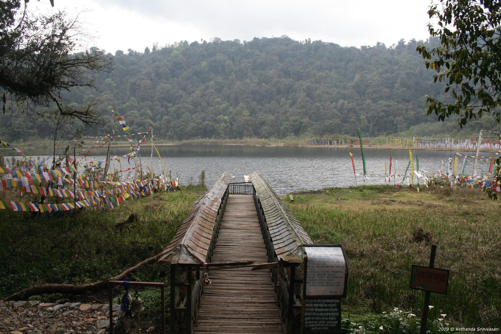
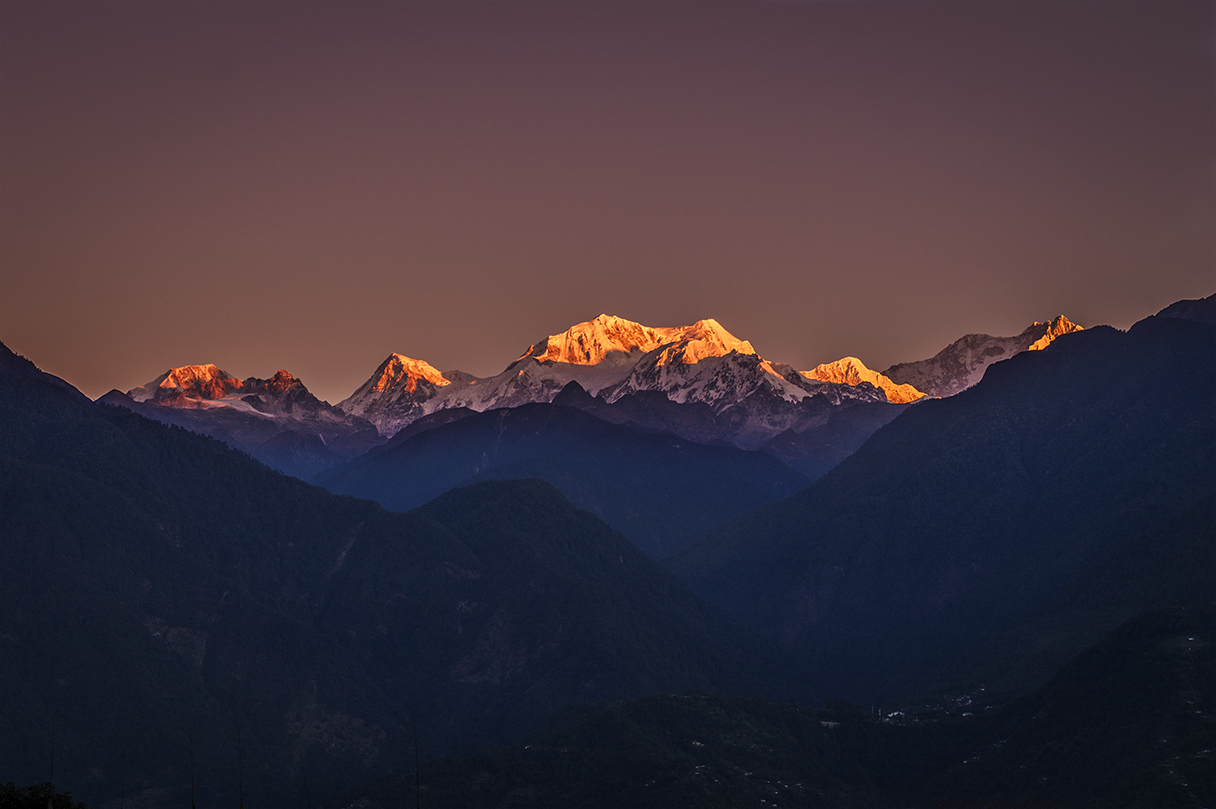
You do not have to walk for nine days to feel the park's presence. From Pelling, the Kangchenjunga range you see at dawn is the park's northern skyline. From Yuksom, walks to Dubdi Monastery and Kathok Lake run along its edge, and the first hour of the trail, through forest above the Prek Chu, gives a taste of what lies beyond. Khecheopalri Lake, outside the park, belongs to the same sacred landscape of Demazong.
If you have only a few days, two nights in Pelling and two in Yuksom put you as close as a road can take you, with time to talk to guides and porters who have spent their working lives inside the park.
Ask your homestay host in Yuksom about the park, too. Many families here have worked as porters, cooks, guides or forest staff for two or three generations, and their sense of the place, from the best month for birds to the names of the lakes, adds more than any information board.
Rules, fees, fares and road status change often. Check current status before you travel.